Click here for GalbraithMt.com's all new 2014 Smartphone Trail Maps...
|
|||||||||||||||||||||
| 87% of Shawn's Fun With 0% of The Terror -- Mullet - A Cut Above The Rest |
|||||||||||||||||||||


 |
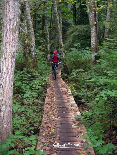 |
| Mullet is the way the world should be, dude! All the blind ramps have rolling backsides and the bogs all have bridges!
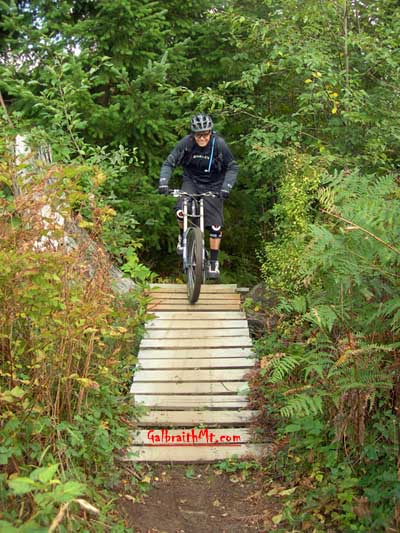
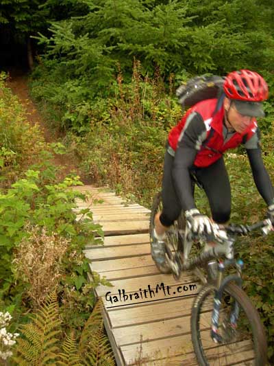
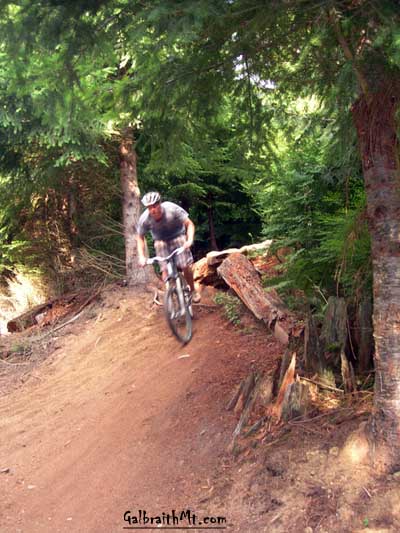
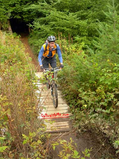
ABOVE LEFT -- The Saturday Flash airs out the drop that divides upper and lower Mullet at the 3100 Rd. Nice shorts, dude, but where are your flip-flops? ABOVE RIGHT -- Steve Hindman rides the long bridge at the end of Mullet. |
|
| Trail name: | Mullet |
| Difficulty rating: | Nice, swoopy trail with a number of tasty (and optional) stunts |
| Elevation gain/loss: | 250 feet |
| Best riding direction: | Best ridden down, alhtough you can climb it if you want |
| Best seasons: | Good all year long |
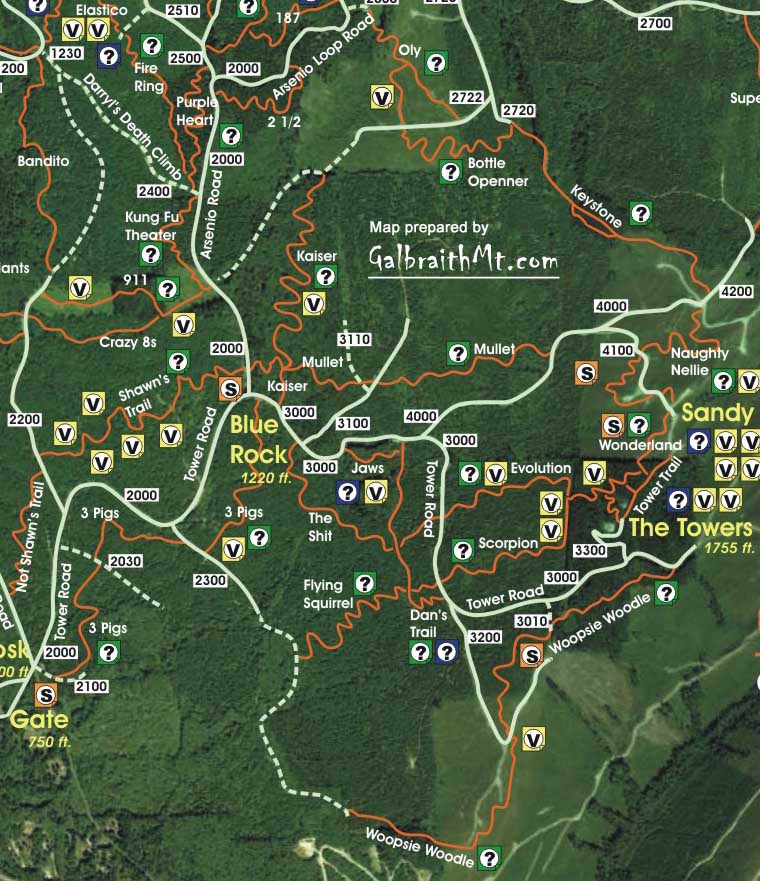
| Maps: |
See trail map at right. Click here for GalbraithMt.com Map Set Index. Click here for Driving Directions from Interstate 5 to Galbraith, plus MapQuest maps and live WebCam shots of Galbraith and the main freeway exits for Galbraith. |
|
Click here for GalbraithMt.com Map Set Index. Click here for Driving Directions from Interstate 5 to Galbraith, plus MapQuest maps and live WebCam shots of Galbraith and the main freeway exits for Galbraith. |
||||||||||||||||||||||||
 The trail is quite buff and actually climbs well, but if you want climb Mullet, keep you eyes and your ears open. The heavy traffic is coming down, and it is coming fast and not expecting to encounter anything on the trail ahead. As with