Click here for GalbraithMt.com's all new 2014 Smartphone Trail Maps...
Naughty Nellie:
|
||||||||||||||||||||||||||||||||||||||||||||||||||


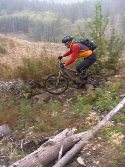
| Mark Adriance cuts like a fireball through the fast upper section of Naughty Nellie. | 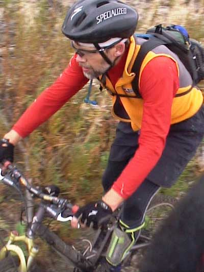 |
| Trail name: | Naughty Nellie |
| Difficulty rating: | Naughty Nellie is mostly fairly mellow singletrack with some great vistas of Lake Whatcom, Mt. Baker, Bellingham, etc. |
| Elevation gain/loss: | 120 feet |
| Best riding direction: | Can be ridden either way, connecting with Wonderland and Keystone to provide the only singletrack route all the way to the Towers at the top in 2009 |
| Best seasons: | Useful and sweet, it gets heavy use all year long |
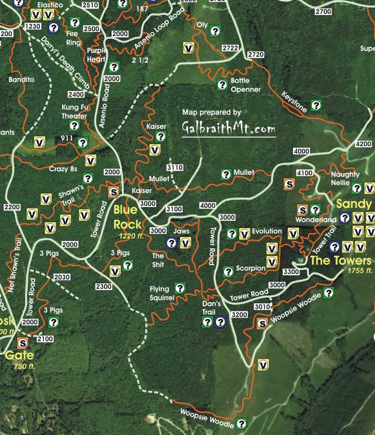
| Maps: |
See trail map at right. Click here for GalbraithMt.com Map Set Index. Click here for Driving Directions from Interstate 5 to Galbraith, plus MapQuest maps and live WebCam shots of Galbraith and the main freeway exits for Galbraith. |
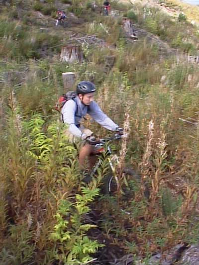
| FOR THE PURPOSES of GalbrtaithMt.com's Guide we're considering Wonderland separately from Naughty Nellie and Keystone, but it's hard to imagine anyone riding Nellie without riding the others.
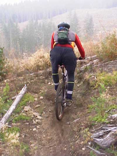
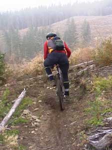
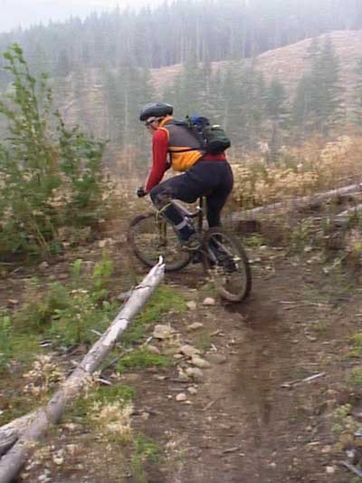
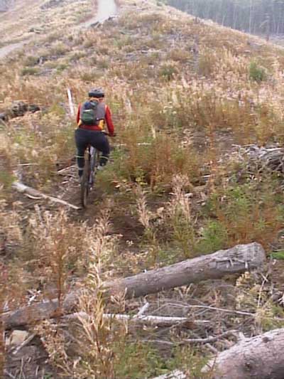
Wonderland connects to Naughty Nellie which connects to Keystone -- providing riders a sweet and direct singletrack route from the North Side to The Towers. Better yet, the Wonderland / Naughty Nellie / Keystone combo rides well both ways, which is why it is the premier singletrack route for climbing to The Towers. In fact, if you are going to climb to The Towers on singletrack in 2009, you've got to climb Naughty Nellie. The only other climbable alternative -- The Woopsie Woodle -- brings you up on the south side of the mountain, with no single track connection from there to The Towers, which means you have to climb the last 100-plus verts to the top on the 3000 and 3300 Rds. Despite its name, Naughty Nellie is not very naughty at all. In fact, it's just about as safe as milk. There used to be one interesting log punchup about half way down, but now all the traffic uses the route-around. Apart from this, the only technicalities are a couple tight switchbacks and an area at a where the trail is unstable near the bottom. Nellie does have some great views, though. It snakes through a clearcut that is a fireweed fantasy in late summer, and provides some great, sweeping views of Mt. Baker, Lake Whatcom, Bellingham, Bellingham Bay, Lummi Island, etc. Built by the WHIMPs's volunteers, Naughty Nellie is a nice piece of work. You probably never thought a clearcut slashpile could sing such a sweet song! And Nellie's very much a Galbraith-style trail in that it uses natural terrain to create interesting and challenging trail features, not 2x4s. The following are some of the scenes as you descend Naughty Nellie. Click on the thumbnail images to view a larger version... |
|
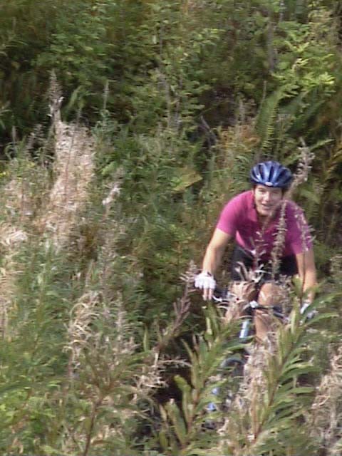 |
Legendary Cathy Crouch cruising through the fireweed on upper Nellie. In late summer, the mountain slopes around Naughty Nellie are covered -- first with magenta fireweed blossoms, and then white fireweed fluff. Both are visible in this sweet pic of the Legendary Cathy... |
 |
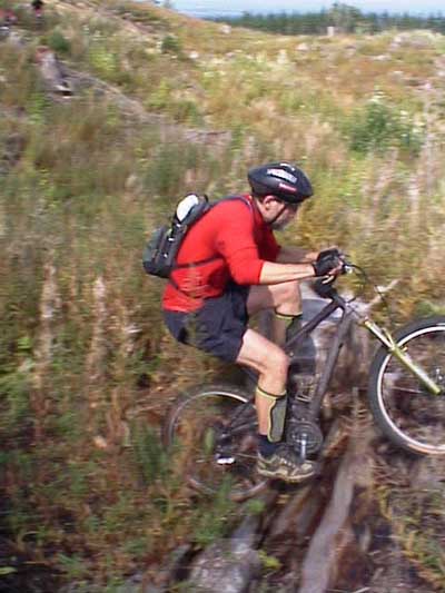
Midway on Naughty Nellie, Mark Adriance makes his run at a log breastwork puchup on his personal Santa Cruz Superlight... |
 |
Pops his front wheel... |
 |
Applies power... |
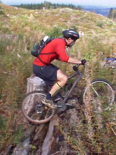 |
Pops up to the top... |
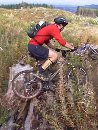 |
And makes his getaway... |
 |
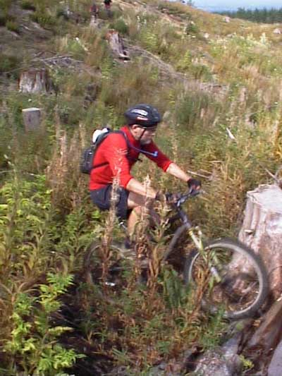
At the same moment his 16 year old son Alex... |
 |
Appears stage left on his Specialized hardtail... |
 |
Punches it with ease... |
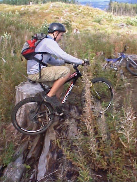 |
And follows his old man, maybe three seconds back. There is now a route-around this punchup, and almost all the trail traffic goes that way... |
 |
Toward the bottom of Nellie, Mark slinks through a series of tight switchbacks... |
 |
Because he's so tall and rides an extra large sized bike (Santa Cruz Superlight)... |
 |
Mark really has to work to getting himself jack- knifed through the corner... |
 |
Made it... |
 |
But there's another switchback almost immediately, and the approach has a jagged butt of a stump in the middle of the trail (Ah Galbraith!)... |
 |
And this one's got a nifty little log drop in the apex of the corner... |
 |
Made it, and off for the next switchback! |
 |
The view at the bottom of Naughty Nellie, where it meets Keystone... |
|
Please read GalbraithMt.com's Terms of Use. © Copyright 2000-2010 by GalbraithMt.com. All rights reserved. BF Communications Inc. Website by Running Dog |
 |
|||
| Rides: 220 | Total vertical feet climbed: 404,900 | ||
Click here for GalbraithMt.com Map Set Index.
Click here for Driving Directions from Interstate 5 to Galbraith, plus MapQuest maps and live WebCam shots of Galbraith and the main freeway exits for Galbraith.