Click here for GalbraithMt.com's all new 2014 Smartphone Trail Maps...
Shawn's Trail &
|
|||||||||||||||||||||||||||||||||||||||||||||||||||||||||||||||


 |
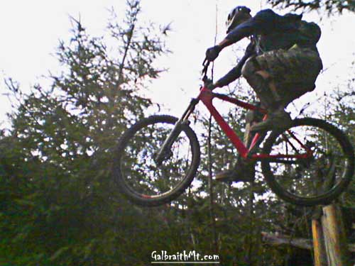
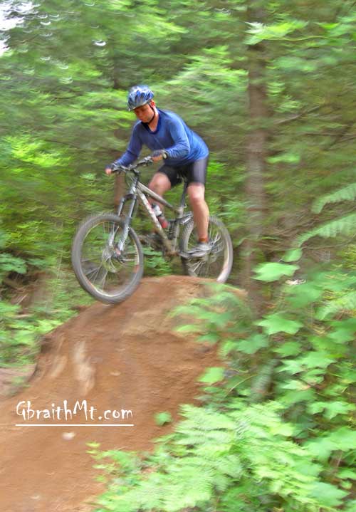
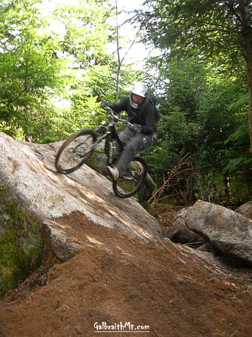
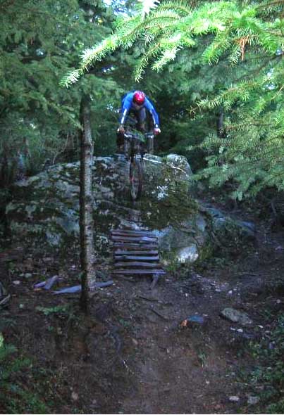
Adam McCoy dropping the Big Rock on Shawn's Trail (Photo by Hiddenwave). |
| Trail name(s): | Shawn's Trail & Not Shawn's Trail |
| Difficulty rating: | Difficult to extremely technical, although there are route- arounds for all the really scary stuff, so tourists can check it out and not die trying |
| Elevation gain/loss: | 200 feet |
| Best riding direction: | The point is to go down, dude |
| Best seasons: | Provides good riding all year 'round |
| Video: | Dan Waters on the Rainbow Skinny. Pat Reilly on The Big Rock. Mark Belles in The Hucks. Mongo on the High Catwalk |
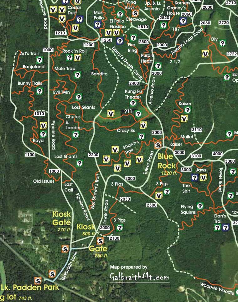
| Maps: |
See trail map at right. Click here for GalbraithMt.com Map Set Index. Click here for Driving Directions from Interstate 5 to Galbraith, plus MapQuest maps and live WebCam shots of Galbraith and the main freeway exits for Galbraith. |
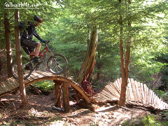
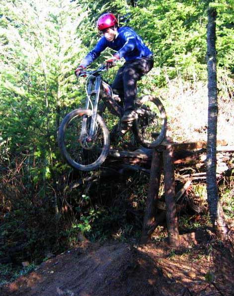
| WHEN YOU SEE guys in body armor pushing their 40-plus pound bikes up the Tower Rd. -- which you do every day -- chances are they are headed for Shawn's Trail.
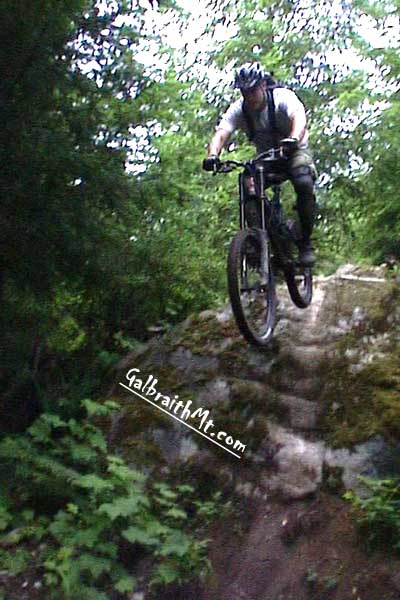
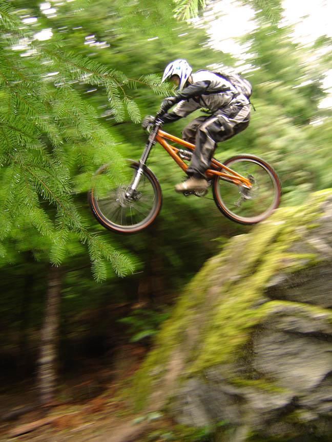
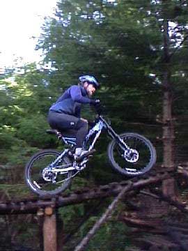
Shawn's Trail, AKA Shawn's Aneurism, defines the extreme new style of mountain biking on Galbraith, with heavy downhill-esque bikes, minimal climbing, and lots of extremely technical stunts. Dan and Jim Waters got the ball rolling for this kind of riding on Galbraith with the legendary Chutes & Ladders, but since most of the stunts on C&L have been torn down on orders from Trillium Corp., Shawn's Trail has taken up the outlaw baton.
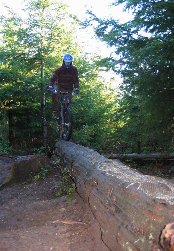
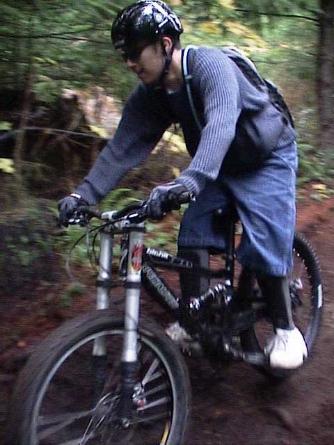
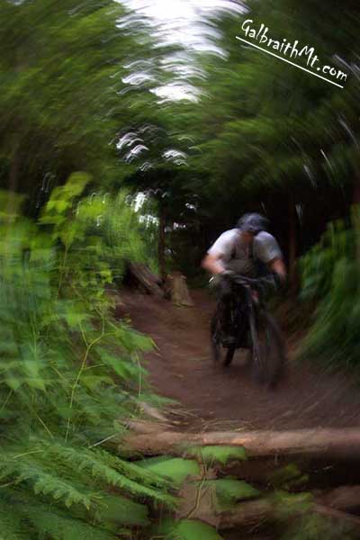
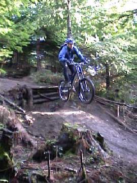
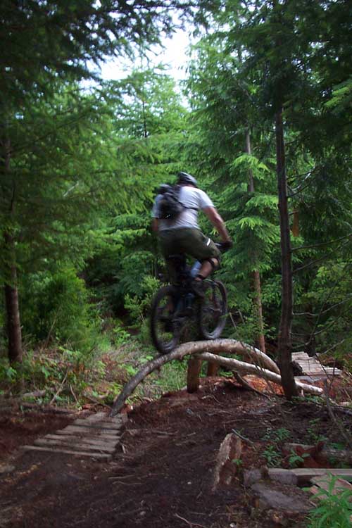
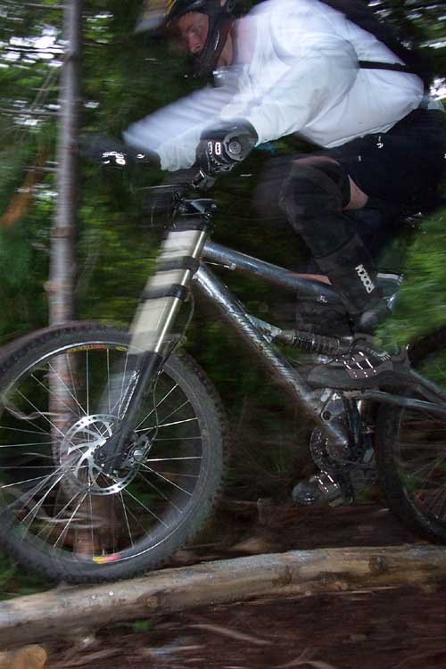
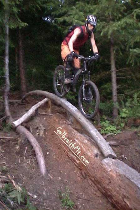
Since it was originally built in 2002, two extensions to Shawn's Trail have been linked to the lower end of Shawn's so that it is now possible to ride very technical single track all the way from the top of Shawn's near the Blue Rock to the Pipeline Rd. near Galbraith Lane. Although these lower two trails (each of which is separated by a gravel road) are known popularly as Lower Shawn's or Not Shawn's Trail, they were actually built by other poeple, including the Legendary Jordan, who was responsible for the last of these. The following are some of the scenes from Shawn's Trail. Click on the thumbnail images to view a larger version...
|
||||||||||||||||||||||||||||||||||||||||||||||||||||||||||||


Click here for GalbraithMt.com Map Set Index.
Click here for Driving Directions from Interstate 5 to Galbraith, plus MapQuest maps and live WebCam shots of Galbraith and the main freeway exits for Galbraith.