|
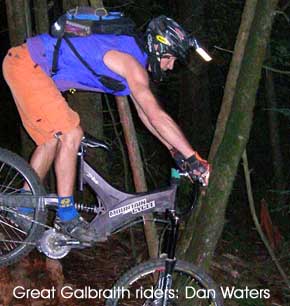
LISTENING TO DAN Waters talk about the Scorpion is like a insto-lesson in Galbraith history.
"This is all 'old school' North Shore," he said, gesturing to the gnarlly drop in to the Stinger, the centerpiece stunt on the Scorpion.
 "In the early days on The Shore they always had these really steep, eroded pitches leading to" -- his gaze turned to the Stinger, a 100 foot plus long old growth cedar lying sprawled across the mountainside -- "some sort of log ride or catwalk. I built this stuff so I could practice and not get killed when I went up to the Shore." "In the early days on The Shore they always had these really steep, eroded pitches leading to" -- his gaze turned to the Stinger, a 100 foot plus long old growth cedar lying sprawled across the mountainside -- "some sort of log ride or catwalk. I built this stuff so I could practice and not get killed when I went up to the Shore."
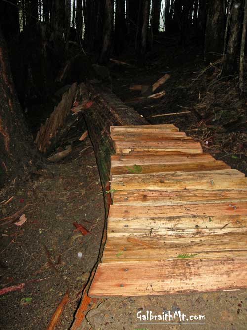
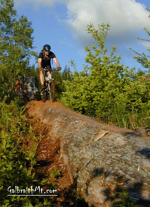
Dan Waters began working on Scorpion in 2001, after Dan's Trail and Chutes & Ladders. He was originally drawn to the north face of Galbraith by The Stinger. This awesome old growth cedar must have been a couple hundred feet tall in its prime because even now it's downed remnant reaches well over 100 feet through the dark woods below the Towers.
Dan built a trail to the Stinger and a slatted ramp up onto it. He also wrapped portions of the huge old log with wire mesh to increase traction in the inevitably slimey Tower woods. Below the Stinger, he picked up the old cat track for a brief traverse before diving down the mountain again into lower Scorpion, which featured its own distinctive old growth cedar log ride -- this time an off-camber tightwalk, albeit with less exposure. Finally, Dan Water's Scorpion spit you out on the Tower Rd. near the top of Dan's Trail, which could also be connected with another extremely technical Dan Water's creation, Jaws of Death.
 ALMOST IMMEDIATELY, though, The Scorpion took on a life of its own. The original Stinger line soon became braided and complexly intertwined with alternate lines and drops like some sort of intricate tatoo across the shoulder of the mountain. The most prominent of these alternate routes is now called by a separate name, Evolution. ALMOST IMMEDIATELY, though, The Scorpion took on a life of its own. The original Stinger line soon became braided and complexly intertwined with alternate lines and drops like some sort of intricate tatoo across the shoulder of the mountain. The most prominent of these alternate routes is now called by a separate name, Evolution.
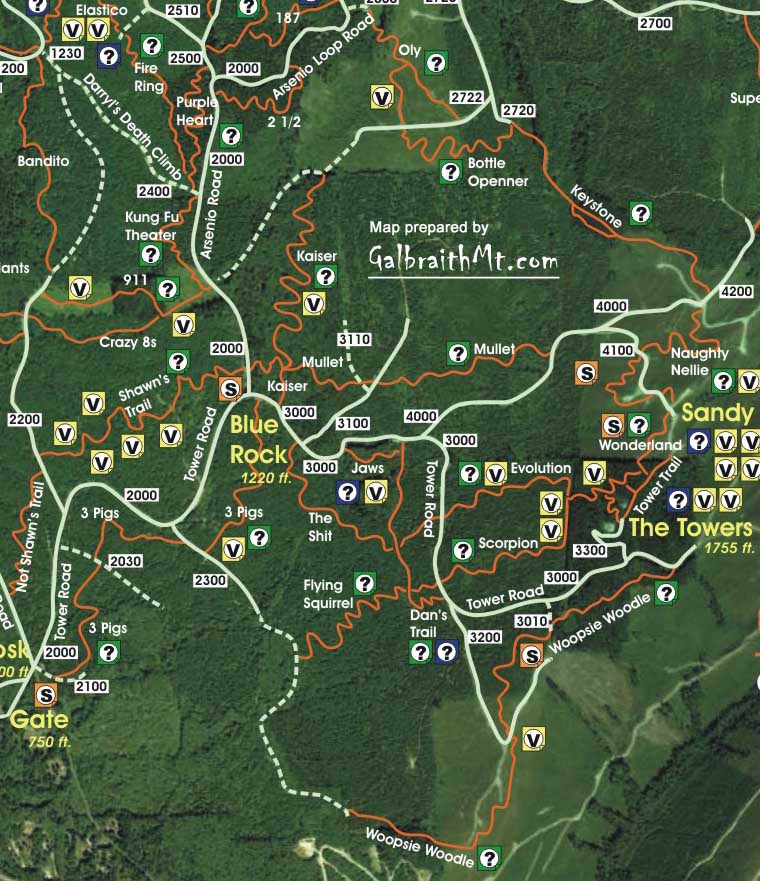
The whole Upper Scorpion, Upper Evolution Upper Wonderland area can be a confusing place, but here's the deal. You're basically offered a series of left and right forks. If you take the first right, you end up on Wonderland, and if you take the second right and you end up on an abandoned trail called 12 Monkeys.
You don't want those. You want to go either straight or to the left. If you take the first left after you drop off the ridge line, and you'll get a sweet set of bermed corners leading to the Stinger. Go straight and you'll roll over the shoulder of the ridge and come to the Stinger via some very gnarly drops.
Take the Stinger and you go to an extensive reworking of upper Scorpion constructed by volunteer crews led by Bill Hawk, AKA bham_freerider. Bill and his troops have built some very nice stuntage on Scorpion (and Evolution), although some of the ramps, etc. have altered the "old school" North Shore flavor of the trail and replaced it with a "new school" man-made, built-to-last feel. That's "evolution" (at least in the minds of the freeride crowd, although others may see it as "devolution").
Basically, upper Scorpion and Evolution have braided together so extensively that it is impossible to separate them now. Evolution is like a new civilization built on the ruins of an older one -- until upper Scorpion / Evolution exists via a log drop to an old cat track that cuts across the mountain. From this point on, the two trails go their separate ways.
If you go right at this point, you end up on Lower Evolution. If you go left, you end up on Lower Scorpion, with its own signature log ride and suspension bridge (yea, that's right -- back in the bad old days, Lower Scorpion had a own suspension bride!). Go right at the cat track and you can drop into Lower Evolution, with it's rollicking jumps.
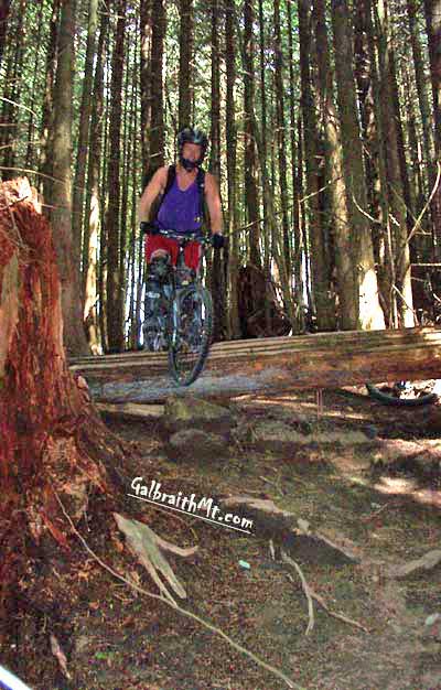
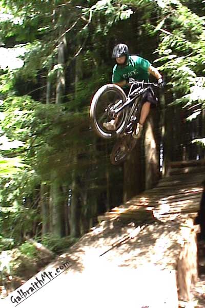
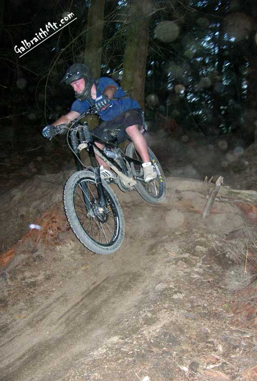
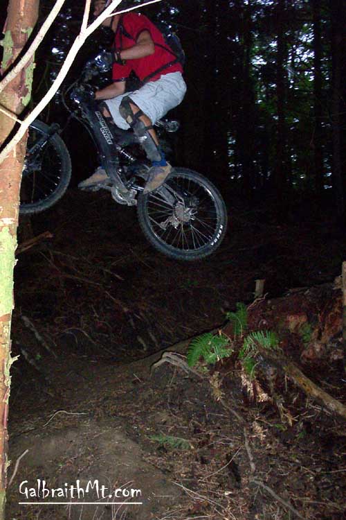
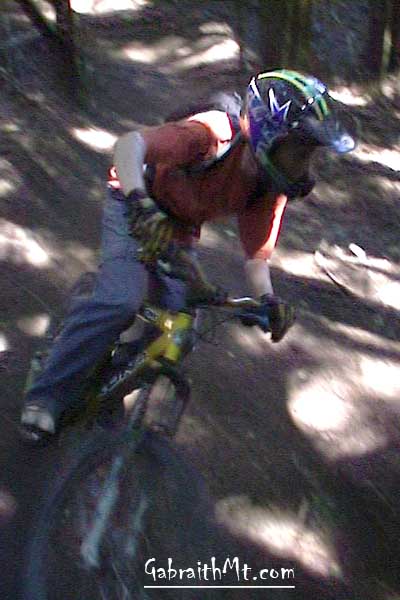
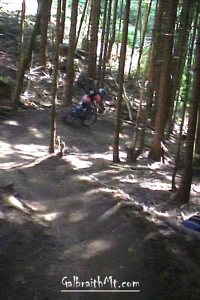
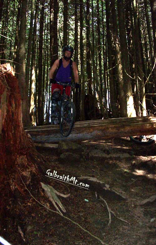
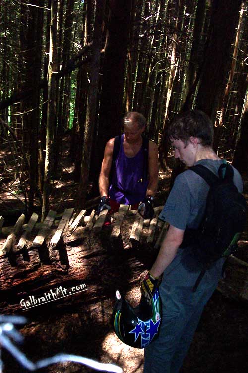
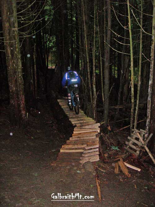
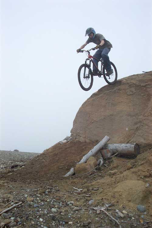
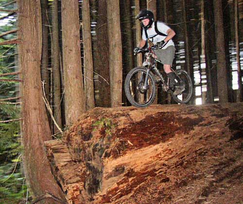
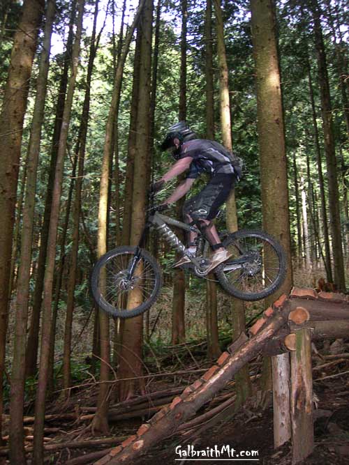
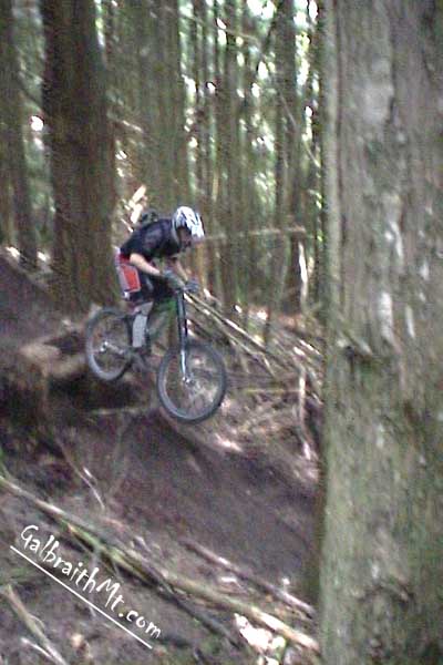
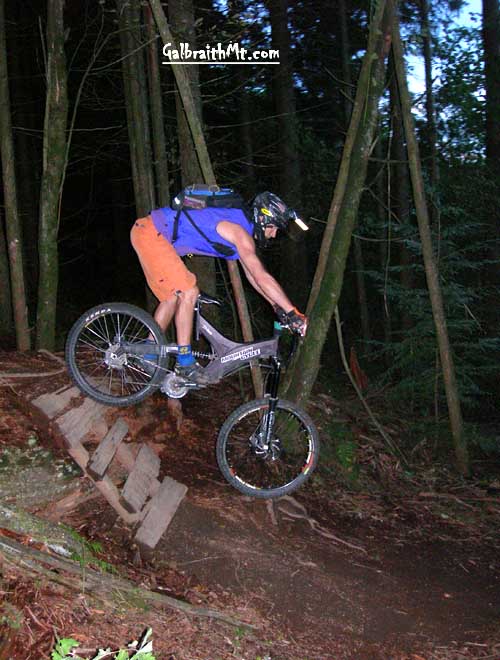
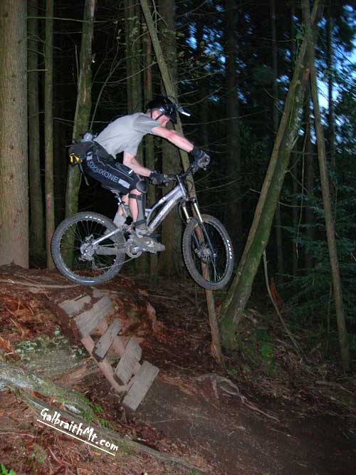
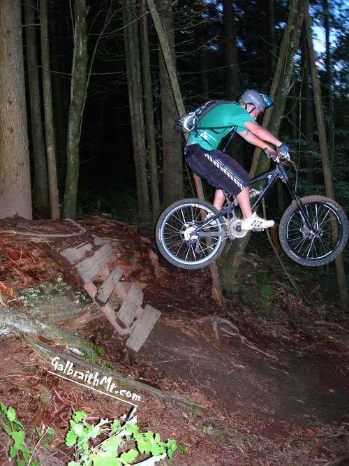
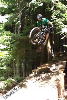
The following are some secenes from along the trail, from top to bottom. Click on the thumbnail images to view a larger version...
|