Click here for GalbraithMt.com's all new 2014 Smartphone Trail Maps...
The Woopsie Woodle:
|
||||||||||||||||||||||||||||||||||||||||||||||


 |
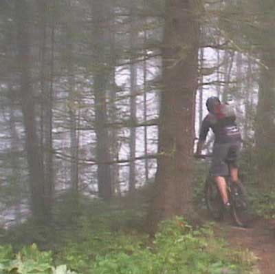 |
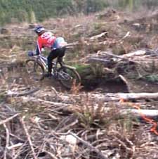
Bethany Gamble (left) spins back into the woods on the old Prison Love portion of the lower Woopsie Woodle, while Alex Adriance (right) launches into the drifting mist at the top of the trail, just before it drops over the edge and begins the first of a series of steep, rooty swoops through the trees.
| Trail name: | Woopsie Woodle |
| Difficulty rating: | If you ride on the main trail, the Woodle offers a heaping measure of tremendous cross-country singletrack trail without anything too scary for an intermediate rider. On the other hand, if you ride the optional stunts along the sides of the trail, the Woodle is as technical (and dangerous) as anything on the mountain. Great views too! |
| Elevation gain/loss: | 500 feet |
| Best riding direction: | Best ridden down from the top, although it is largely climbable |
| Best seasons: | Gets heavy use all year long |
| Video: | Legendary Cathy acing a switchback in the clearcut on The Lower Woodle. |
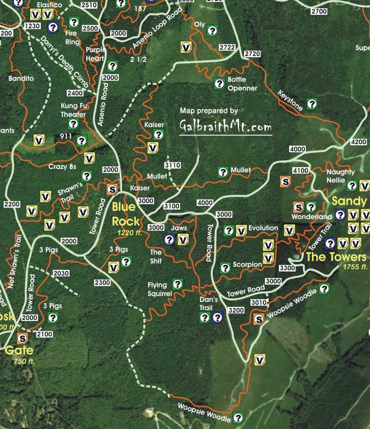
| Maps: |
See trail map at right. Click here for GalbraithMt.com Map Set Index. Click here for Driving Directions from Interstate 5 to Galbraith, plus MapQuest maps and live WebCam shots of Galbraith and the main freeway exits for Galbraith. |
| IF THEY had to pick the single best trail on Galbraith, a lot of knowledgeable riders might say Upper and Lower Bob's Trail on the north side, and others might say Shawn's Trail or the Polka Dot Trail on the south side, but the biggest vote getter in the fall of 2004 would probably be the Tower region's Woopsie Woodle, which is a delight to just about everybody who rides Galbraith.
Experienced Galbraith riders know the Woodle has been around for years, living in the shadow of other more renowned Tower trails. But that was before logging destroyed the old Tower, Polaski and Wonderland trails off the top. So in 2003, the WHIMPs and other volunteer trail builders created the new, super Woodle, which combines the old trail at the top with a portion of the old (and otherwise now defunct) Prison Love trail at the bottom, and a great deal of sweet new trail in between. Much of the new trail cuts through the clearcut middle section that affords breathtaking views of Lake Samish and Blanchard Mt., Lake Padden and the Chuckanuts, Bellingham and Bellingham Bay, and Lummi Island and the San Juans, all from the same place. This is probably Galbraith's best vista point now that the trees have grown up around the Fire Ring and along the Ridge Trail. If you're up for it, this section of the Woodle has a couple of death defying log rides, one on the exposed outside edge of the cliff-side trail, and the other a long long combo that goes almost exactly straight down the fall line for a terrifying distance.
If you just ride the top half, the Woopsie Woodle is a really fun trail that combines with a lot of other trails and routes elsewhere on the mountain. If you continue down the rest of the Woodle, it turns into Galbraith's longest trail, and if you combine the entire Woodle with the lower two sections of the Three Little Pigs, it turns into an almost unbroken singletrack descent of the entire mountain, from just below the Towers at the top, to Galbraith Lane at the bottom. Very sweet! The following are some of the scenes as you descend the Woodle. Click on the thumbnail images to view a larger version... |
|
 |
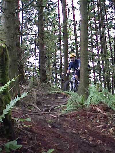
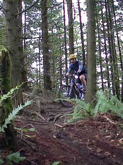
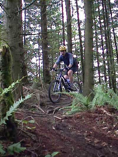
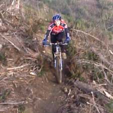
Sixteen year old Alex accelerates at the top off the Woopsie Woodle... |
|
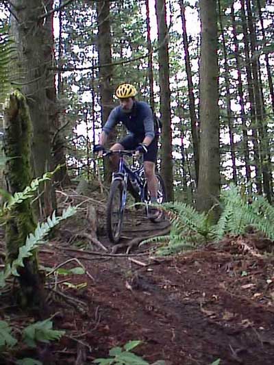
And picks up speed for the edge... |
 |
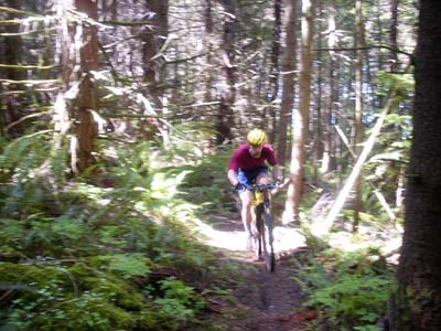
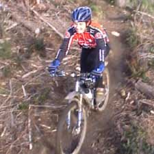
Where Mongo dances in big rooty swoops... |
 |
That offer a delightful feast... |
 |
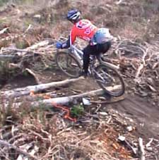
With a decidely Galbraithian flavor... |
 |
That relies mostly on natural terrain... |
 |
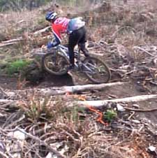
Spiced with a serious Slime Factor... |
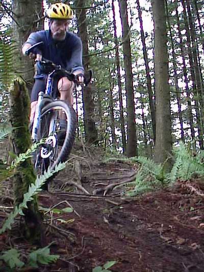 |
To create memorable singletrack experiences. |
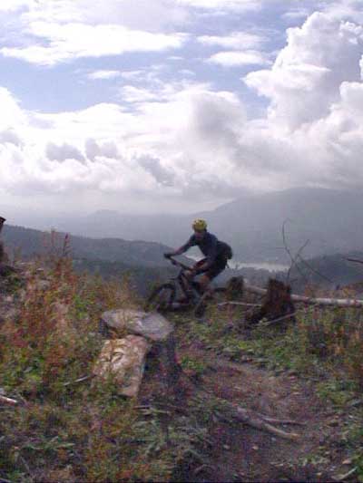 |
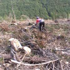
A little further down the Woopsie Woodle, in the middle section, a lone rider is silhouetted against Lake Samish and Blanchard Mt. Note the stump in the foreground has a slab of rock laid against it to create a rude ramp for riding. Presto! Instant stump drop, and all narural! |
 |
In the clearcut, after you cross the 301 Rd. (which leads back to the Yellow Rock, the top of Dan's Trail, the Tower Rd. etc.), there is a section of traverses and switchbacks... |
 |
Which are fast and fun... |
 |
And spiced with some logging debris... |
 |
And a few optional stunts along the sides... |
 |
As Cathy Crouch... |
 |
Shows here... |
 |
And here's Bethany below the clearcut, where the trail reenters the woods and connects with the old Prison Love trail, which has been incorporated into the lower Woodle. |
|
Please read GalbraithMt.com's Terms of Use. © Copyright 2000-2010 by GalbraithMt.com. All rights reserved. BF Communications Inc. Website by Running Dog |
 |
|||
| Rides: 220 | Total vertical feet climbed: 404,900 | ||
Click here for GalbraithMt.com Map Set Index.
Click here for Driving Directions from Interstate 5 to Galbraith, plus MapQuest maps and live WebCam shots of Galbraith and the main freeway exits for Galbraith.