|
THE RIDGE TRAIL is a ticket to Northwest single track heaven.
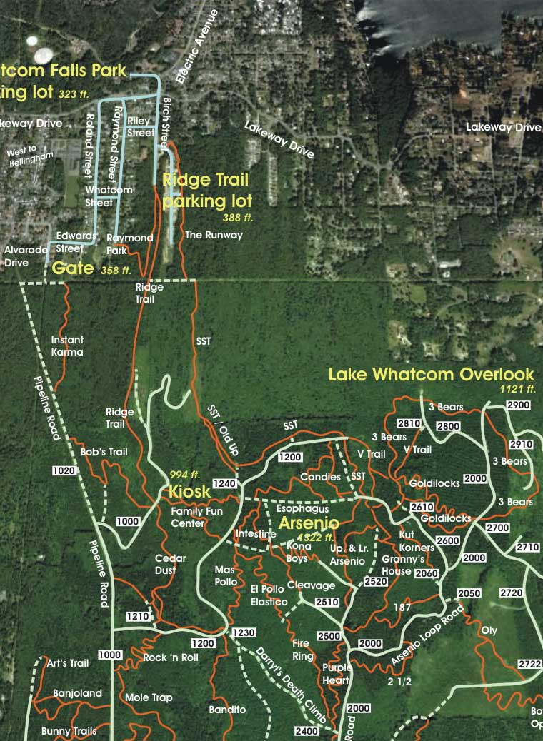
Beginning on a quiet residential street just a couple blocks off Lakeway Blvd. 10 minutes' drive from "beautiful downtown" Bellingham, WA, it leads the mountain bike rider (jogger, hiker, etc.) into the heart of Galbraith Mt.
 Deep woods, clearcuts with broad vistas of the city and islands below, and an occasional outcrop of nice gritty sandstone roll by until the end, where you get a choice -- you can either climb further up the mountain toward fabled trails like SST, Arsenio, Goldilocks & the Three Bears, Granny's House and Purple Heart, or you can dive off the ridge the other way onto Bob's Trail, the gnarliest mountain bike trail on the entire North Side of Galbraith. Deep woods, clearcuts with broad vistas of the city and islands below, and an occasional outcrop of nice gritty sandstone roll by until the end, where you get a choice -- you can either climb further up the mountain toward fabled trails like SST, Arsenio, Goldilocks & the Three Bears, Granny's House and Purple Heart, or you can dive off the ridge the other way onto Bob's Trail, the gnarliest mountain bike trail on the entire North Side of Galbraith.
Please note, however, the Ridge Trail isn't what it used to be. It used to be a emerald gem all to itself. Now, after an extremely ill-advised housing development swallowed most of the Lower Ridge Trail, the Ridge Trail has almost been degraded to a mere connector to the rest of the mountain.
The "Hannah Creek" housing blight at the end of Birch of St. (with all the idiotic little insto-lawns where stately and complex forest used to stand) isn't the only problem facing the Ridge Trail, though. The other is the Ridge Trail's popularity. Traffic on the Ridge Trail can be quite heavy at times and typically includes a mix of riders, runners, hikers and even an occassional smattering of unicyclists.
Why? The Ridge Trail isn't just the best way to access the mountain from the North Side, it's pretty much the only way. Which means, frankly, that the trail has been absolutely hammered and beaten-up almost beyond recognition in the last few years.
But the Ridge Trail still has its moments, and when you get to the top, you've still got all of Galbraith before you.
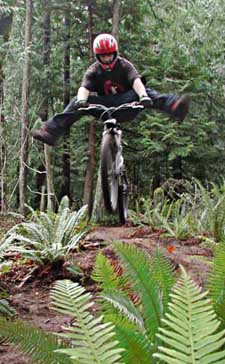
AND THEN there's the Ridge Trail's stunted sidekick, Raymond Park AKA Jump City. Built mostly by neighborhood kids, this jump and stunt park has grown like a cancer in the shade below a stand of big cedars, and now covers an acre or so at the base of the ridge. There are a couple of very large jumps here, one off a huge boulder, another a gap jump into a gully, with a nifty little singletrack exit to Raymond St.
The following are some of the scenes in sequence as you climb the Ridge Trail. Click on the thumbnail images to view a larger version...
|
| Ridge Trail Scenes |
 |
This is the way the Lower Ridge Trail looked in 2002 before a huge, utterly uneeded housing development -- ultimately dubbed Hannah Creek -- was built at the end of Birch St... |
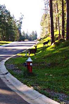 |
This is the way the same section of the Lower Ridge Trail looked in 2005 before housing construction began. The four trees on the left are the same four trees in the photo above. The bottom of the Ridge Trail used to take off to the right and starts to climb right beyond the fire hydraunt. In the spring of 2006, housing construction blocked this ancient, traditional and rightful access to Galbraith. |
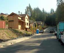 |
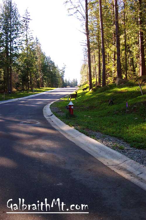
The Lower Ridge Trail, er, upper Birch St., in 2009... |
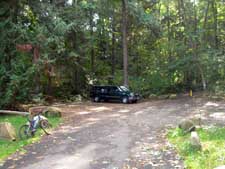 |
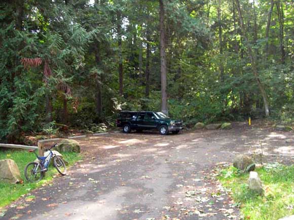
Leading to the WHIMPs' Memorial Parking Lot at the end of Birch St., again in 2009. You can park here, in the parking pullouts along upper Birch St., and at Whatcom Falls Park at the other end of Birch St. |
 |
Since 2004, the Lower Ridge Trail has been rerouted off the actual ridge, climbing instead what used to be called the Miranda Trail, but is now just considered the Ridge Trail... |
 |
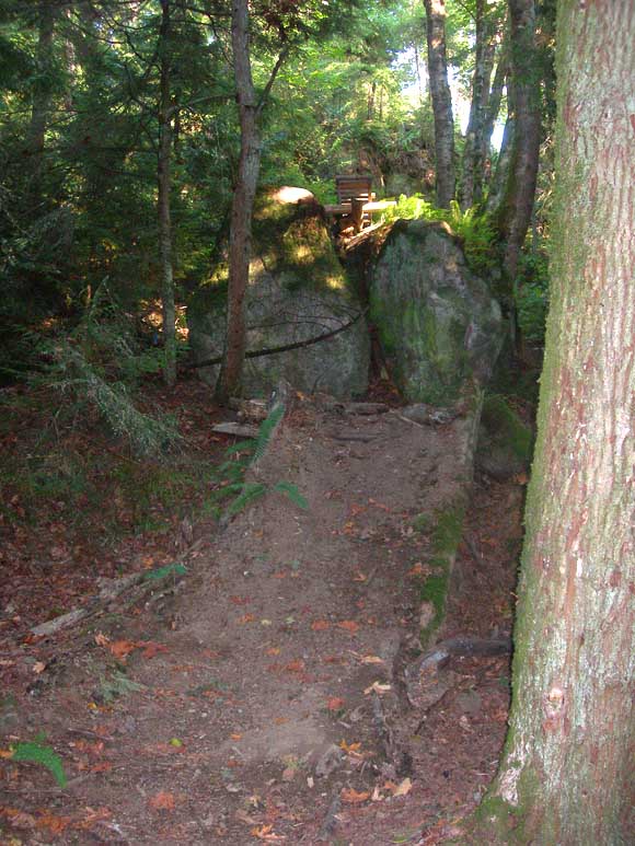
The Miranda access rejoins the old Lower Ridge Trail shortly after a narrow pass between this boulder and a precipitous drop. |
 |
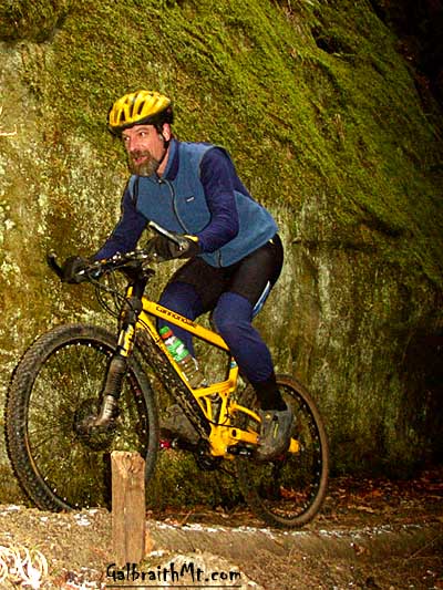
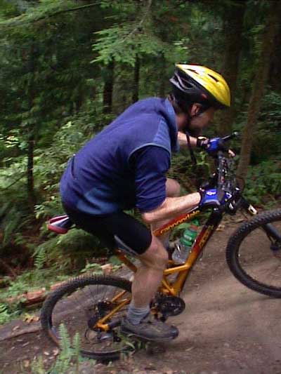
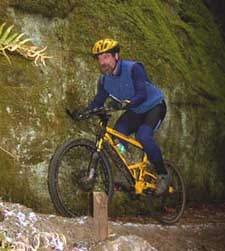
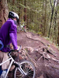
The rocky switchback that connects with the old Ridge Trail. This is the first hint of the technical treats that lie ahead in the dark heart of Galbraith, for those who seek them. Here's a pic of Mongo kicking the switch.
Actually, this switchback is quite ridable both ways -- if you've got the power and nerve -- but it is probably most difficult phsychologically going down because you're forced to take a long, slow-motion look right over the cliff you go over if you don't make it. Sweet!
|
 |
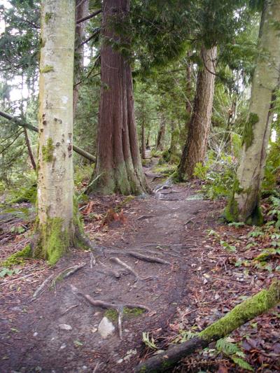
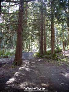
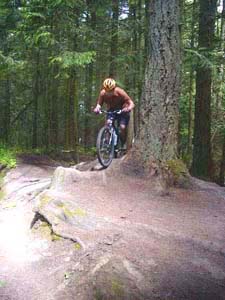
Above the intersection with Miranda, the Ridge Trail becomes its old self. |
 |
In the old days you could (maybe) get away with this sort of stunt on the Lower Ridge Trail, but please don't try it now -- you'll decapitate a hiker.
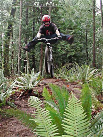
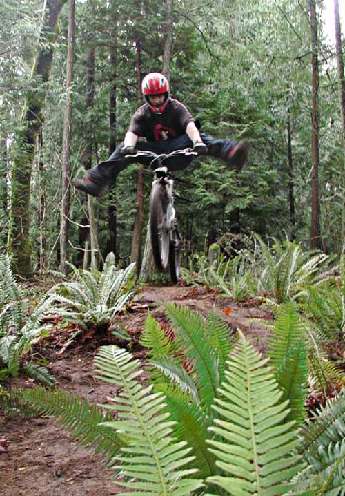
The jump action hasn't gone away. It just moved down to Raymond Park...
|
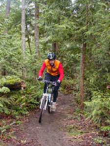 |
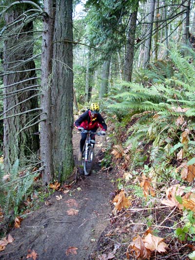
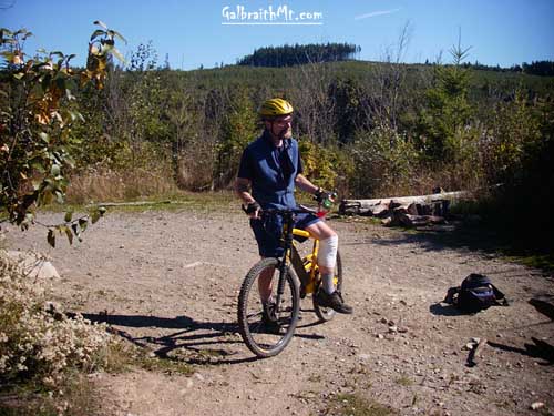
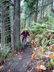
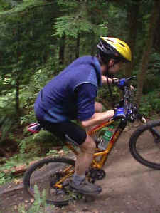
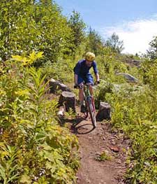
One of the great virtues of the Ridge Trail is that it is a blast to ride both up and down. Here's Mark Adriance spinning up the Lower Ridge Trail in October. |
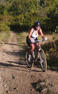 |
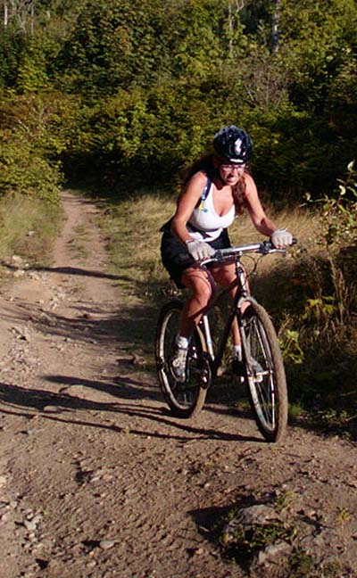
Here's a beautiful mountain biker coming up the powerline right away "trail" that connects SST to the Lower Ridge Trail. |
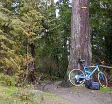 |
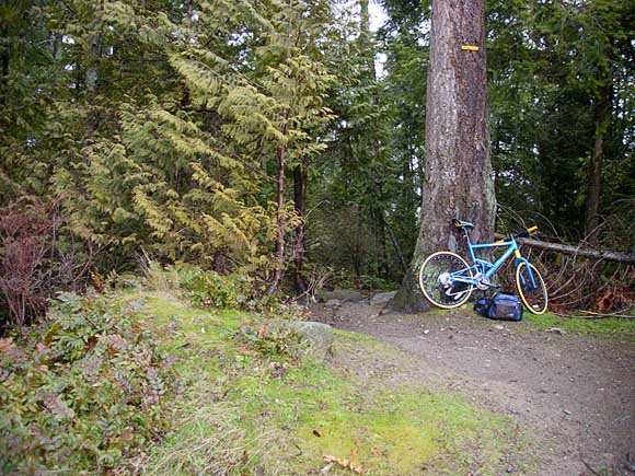
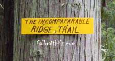
Here's where the Lower Ridge Trail comes out into the Powerline Right of Way. The little yellow sign high up on the trunk of the Doug fir -- which says, "The Incomparable Ridge Trail" -- was put up for a Mountain Bike magazine story on Galbraith in 2000. |
 |
Here's another view of where the Lower Ridge Trail comes out into the Powerline Right of Way, this time seen from Raymond at the bottom of the cliffs below. This Raymond Park jump has a 30 foot free fall from the ramp on top of the rocks to the landing ramp (the landing zone is out of sight below). |
 |
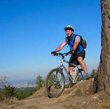
Meanwhile, up on the Ridge -- there is a stretch on the Upper Ridge Trail where you can rip on the old Ridge Road -- both ways. You can also ride single track all the way, if you want. |
 |
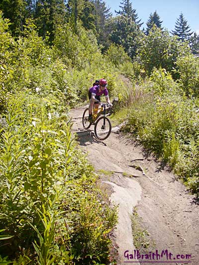
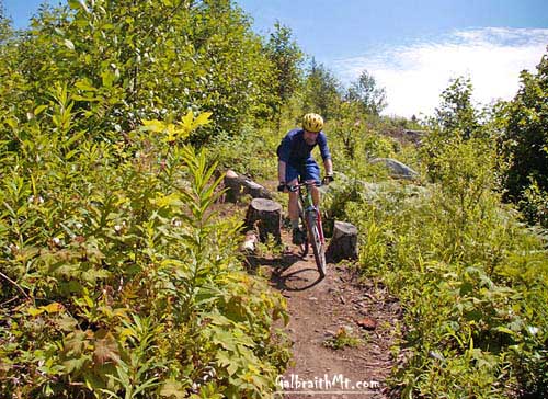
A stylish rider slices through the clearcut on a sunny day in June. This section of the Ridge Trail swoops and dives like a natural dual slalom course. |
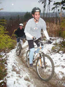 |
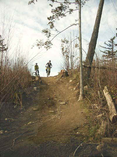
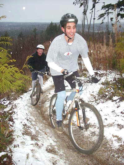
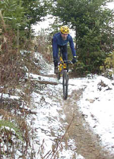
Here two riders climb the same section of the Ridge Trail on a snowy day in December. |
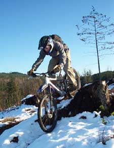 |
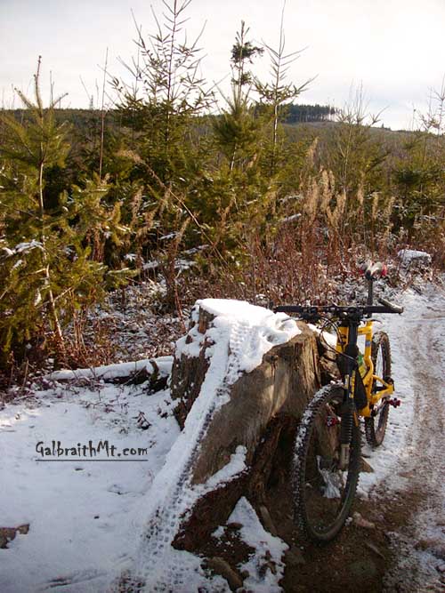
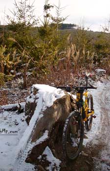
Another snow shot -- this one from February -- shows David Waugh rolling a stump just before the Big Gnarly on the Giant Reign. |
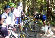 |
Good fellowship among riders, hikers, joggers, motorcyclists, dogs, etc. is a important part of Galbraith Mt. |
 |
Adoration of the Big Gnarly. This hungous Doug Fir root on the Upper Ridge Trail forces you to ride to the edge of a cliff, and then drive over the root. |
 |
Or you can try the Big Gnarly the hard way: an honest two foot punch up in close to the trunk, among other interesting lines. |
 |
After the area was logged, here's what the Big Gnarly looked like. Airborne Larry from Oak Harbor is in the foreground and beautiful downtown Bellingham is in the distance (photo by Ethan of the Backcountry Bicycle Trails Club). |
 |
Here's the view the other way from the middle Ridge Trail -- with Mt. Baker in the background -- as Mongo rolls through a slash pile along the side of the trail on the Turner Five Spot. |
 |
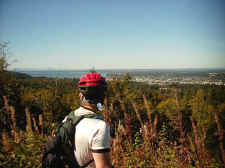
And looking the other way toward Bellingham in the distance. This rider stopped to study the pygmy owl that was sitting in the top of the tree... |
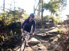 |
Cooking through the turn near the top of the Upper Ridge Trail where you first dive into the deep woods. The fastest line -- both on the up and the down -- is the bermed swoop to the outside through the big rocks. |
 |
Remember this stump (seen here as you would come on it climbing, looking east toward Arsenio). This stump marks a fork in the Ridge Trail. Go right, and you follow singletrack all the way to the end of the trail. Go left, and you intersect a gravel road which takes you to the same place. |
 |
Here's the log drop on the right fork above the stump on a snowy day in December. |
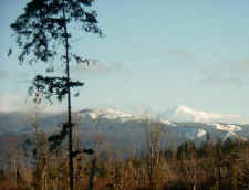 |
And then there's the indescribable beauty of the place. Here the view east to Mt. Baker from the Upper Ridge Trail in January. |
 |
This is the view the other way on a day in April -- to the west toward Lummi Island, Rosario Strait, the San Juans and Gulf Islands beyond in Canada. |
 |
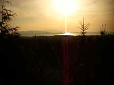
And here looking toward the northwest, where both Bellingham and Vancouver, BC, are visible on this clear day in September. |
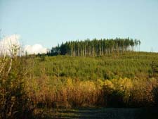 |
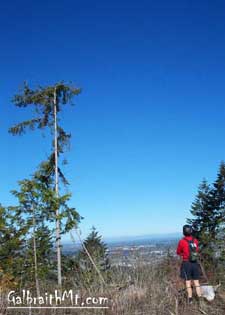
As you approach the top of the Ridge Trail, Arsenio looms to the southeast. The most recognizable Galbraith Mt. landmark, this isolated stand of big timber can be seen from almost all over the mountain. |
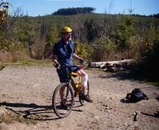 |
Finally, at the top of the Ridge Trail, you come to a broad openning on a gravel road, generally with some big pieces of wood strewn about and Arsenio again in the distance. |
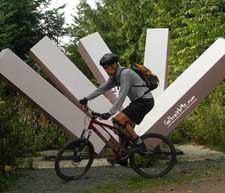 |
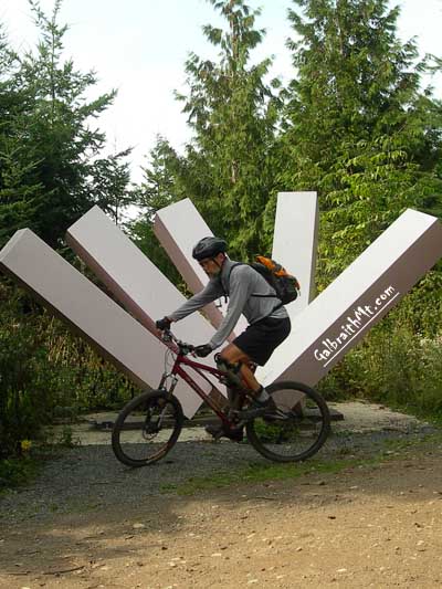
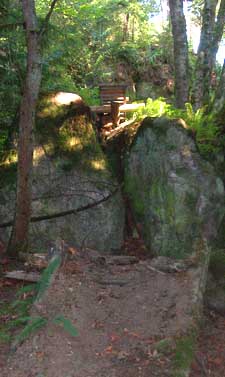
Here's the sculpture at the hub of the North Side where four trails meet: the top of the Ridge Trail, the Bob's Trail, Cedar Dust and the Family Fun Center. Click here for more Galbraith art... |
|
Updated October 30, 2009
|