Click here for GalbraithMt.com's all new 2014 Smartphone Trail Maps...
|
||||||||||||
 |
 |
 |
 |
|||||||||
 |
 |
 |
 |
|||||||||

El Pollo Elastico, Mas Pollo
& Fire Ring
 |
|
|
|


| Trail name(s): | El Pollo Elastico (The Elastic Chicken, or simply The Chicken), Mas Pollo, The Fire Ring |
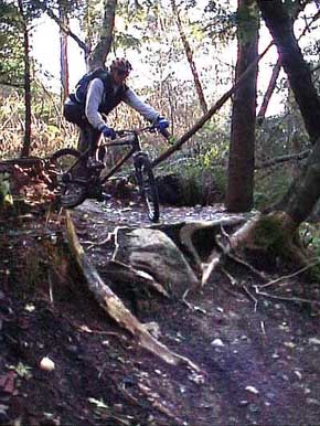
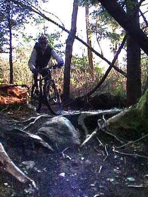
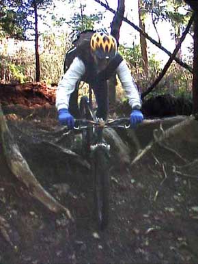
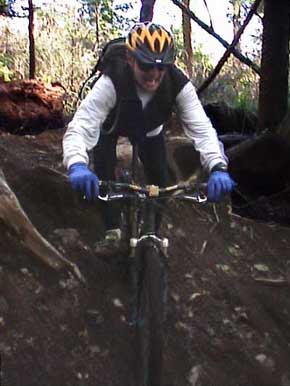
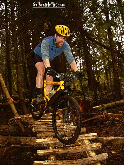
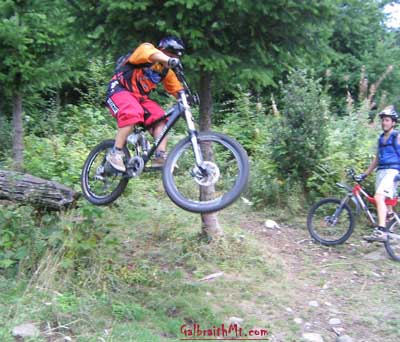
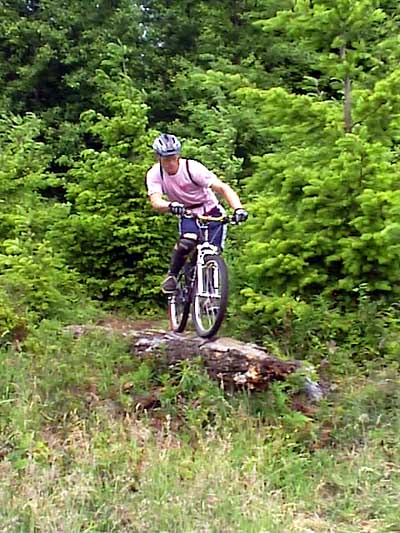
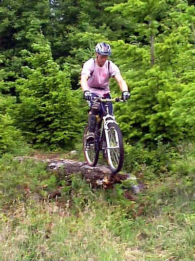
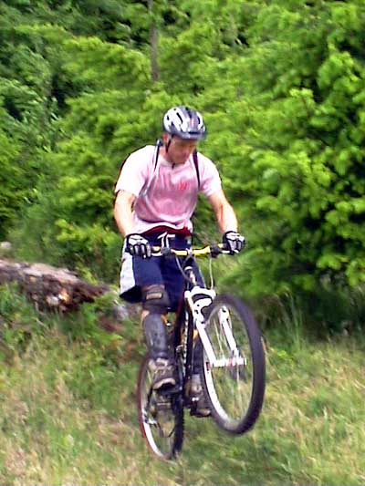
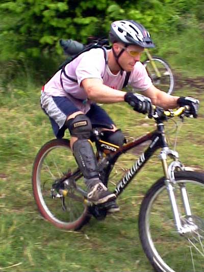
| Difficulty rating: | Fairly technical with several memorable stunts scattered along the trail, including the long log at the Fire Ring, and two catwalks and the Heinous Fall Away on The Chicken. |
| Elevation gain/loss: | 340 feet |
| Best riding direction: | Best ridden down, although it can be climbed fine if you're willing to get off your bike a few times |
| Best seasons: | Gets heavy use all year long |
| Video: | Paul Andrews dropping the Heinous Fallaway on The Chicken, Mongo at the top of The Chicken, John and Nikki at the top of The Chicken |
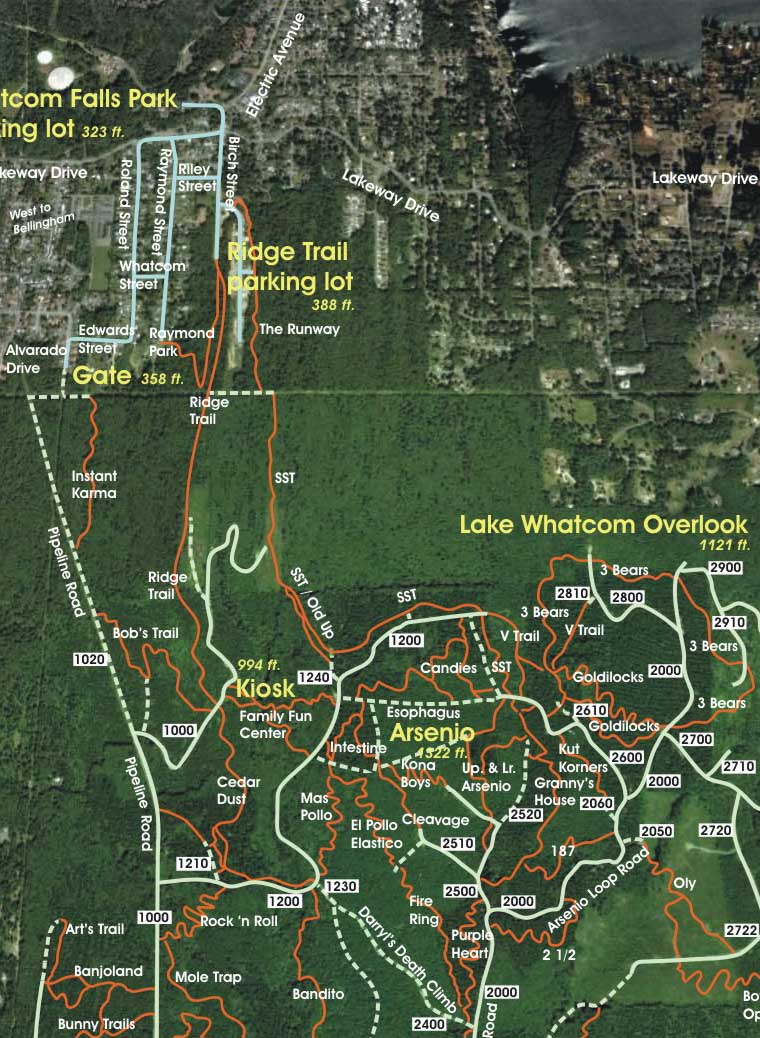
| Maps: |
See trail map at right. Click here for GalbraithMt.com Map Set Index. Click here for Driving Directions from Interstate 5 to Galbraith, plus MapQuest maps and live WebCam shots of Galbraith and the main freeway exits for Galbraith. |
|
EXCITING TRAIL news often travels like wildfire through the hard core Galbraith Mt. riding community, but few new trails have created as much buzz as El Pollo Elastico. This is due to the fact that:
Down toward the bottom of our run, a Hollywood handsome figure stepped out of the trees and accosted us like a troll. Turned out to be Bob, having a little fun with the tourists. Not surprisingly, the trail has many of the marks of Torset's evil genius, including a bunch of steep drops and a killer fall away corner, the Heinous Fall Away. The latter, which you conveniently hit just as you enter the shade of the Intestine woods, is even gnarlier than the one near the top of Upper Bob's Trail. El Pollo Elastico and Mas Pollo (which follows The Chicken down to the 1200 Rd.) can be connected with Cedar Dust and Upper and Lower Bob's Trail to deliver the rider from mid-mountain to Alvarado St. on trails that were all build by Bob -- all Bob all the time! FOR THIS Trail Guide, we're combining The Chicken with The Fire Ring, an older trail was a favorite mountain biker view spot in the '90s when the area was clearcut. The reason is that these days almost noone rides The Fire Ring without riding The Chicken. Not only does the bottom of The Fire Ring connect with the top of The Chicken , but The Fire Ring is the preferred connection from the 2000 Rd. and the top of The Chicken.
|
Click here for GalbraithMt.com Map Set Index. Click here for Driving Directions from Interstate 5 to Galbraith, plus MapQuest maps and live WebCam shots of Galbraith and the main freeway exits for Galbraith. |
|||||||||||||||||||
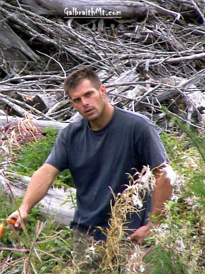 GalbraithMt.com caught up with Bob while he was building the trail in September 2000. Actually, he heard us coming long before we saw him. About four of us stumbled on the top on the trail and started down it. As it got better and better we started whooping with pleasure.