Click here for GalbraithMt.com's all new 2014 Smartphone Trail Maps...
The Candies --
|
||||||||||||||||||||||||||||||||||||||||


|
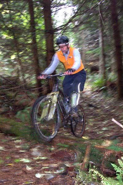
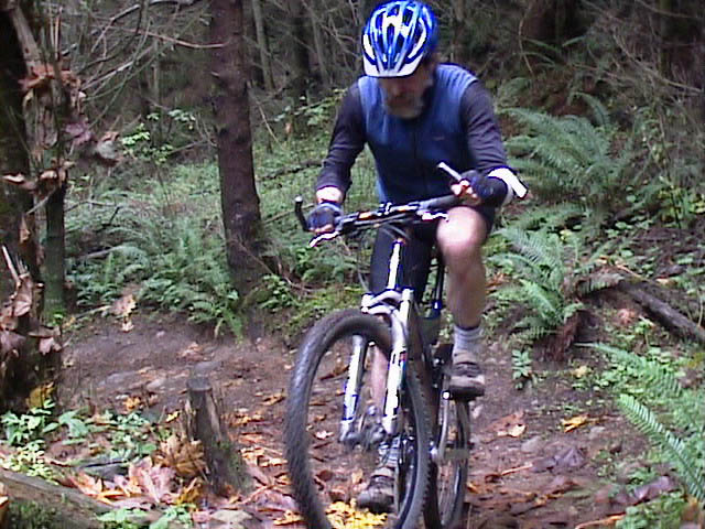
Mark Adriance flies through the rain on the Candies. This mellow log roll over is just about the most extreme moment on the trail. |
 |
| Trail name: | The Candies |
| Difficulty rating: | Fairly easy flowing singletrack both ways with a few more difficult stunts scattered along the side of the trail |
| Elevation gain/loss: | 75 feet |
| Best riding direction: | Excellent in either direction |
| Best seasons: | Gets heavy use all year long, but is especially sweet during wet weather when combined with the Old Up to provide the best ascent to Arsenio from the North Side |
| Video: | Mongo climbing the Candies |
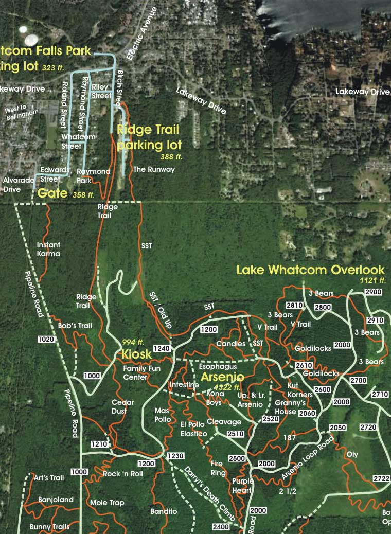
| Maps: |
See trail map at right. Click here for GalbraithMt.com Map Set Index. Click here for Driving Directions from Interstate 5 to Galbraith, plus MapQuest maps and live WebCam shots of Galbraith and the main freeway exits for Galbraith. |
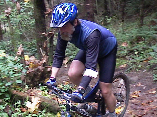
THERE ARE A LOT of things you can say about the Candies -- they ride marvelously both ways; they have a distinctive swoop and roll, with lots of wide open rips intersperced with some seriously slow-speed woodsy switchbacks; they are the premier route up to Arsenio from the North Side during wet weather.
But when someone mentions the Candies, what I always remember is one wet winter night when my friend Russ Lambert and I breifly passed that way. Netiher of us was any mood to dawdle, so we were flying, riding right on the edge of what our lights/vision and reflexes would allow, and often cheating based on intimate knolwedge of the trail (I have to punch it HERE, even though my front end hasn't come around and therefore my headlight hasn't yet illuminated the root I've got to get up over THERE).
In that trance of speed, we sliced the mildly gathered but steepish trench near the top with big sweeping strokes and then shot like watermellon seeds through the twisty, rolling, occassionally rooty singletrack below. I was in the lead when we swung left and began the last little climb before we tipped into the final long descent. Then I noticed Russ was screaming my name, and it didn't sound like he was introducing me to the Italian ambassador. It sounded more like he was introducing me to a Ringwraith.
I twisted my head looked up just in time to see what looked like a huge barred owl pass without a sound about two feet above my head and then disappear into the darkeness. Whoah! The owl had come from the attack quardrant and I had literally been powerless before it, as unaware as your average field mouse. Made me think. What is fast? Who is wild and free? Who is dinner?
The following are some of the scenes from the trail. Click on the thumbnail images to view a larger version...
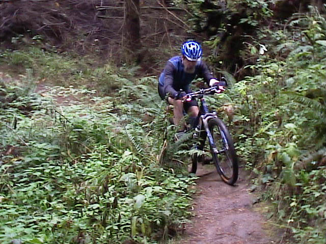 |
The Candies feature lots of fast rolling rips through the ferns... |
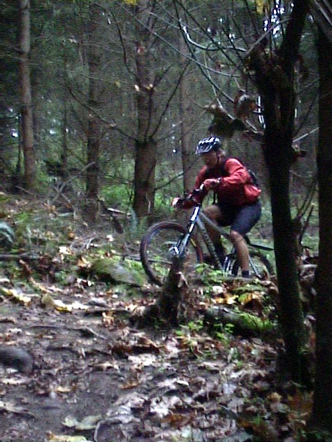 |
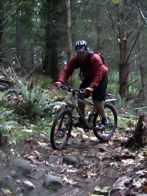
But there are couple of mildly technical moments, like this switchback with a log drop / punch up at the top... |
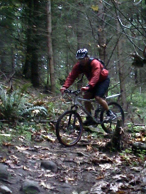 |
Which Mike Jackson jumps... |
 |
And brings around... |
 |
To cut right through the ... |
 |
Rocks at the bottom! |
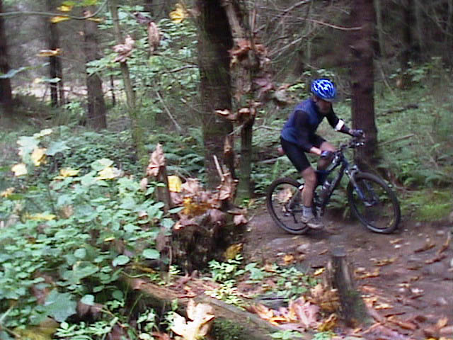 |
Here's Mongo climbing through the same corner... |
 |
Which requires a little dodging... |
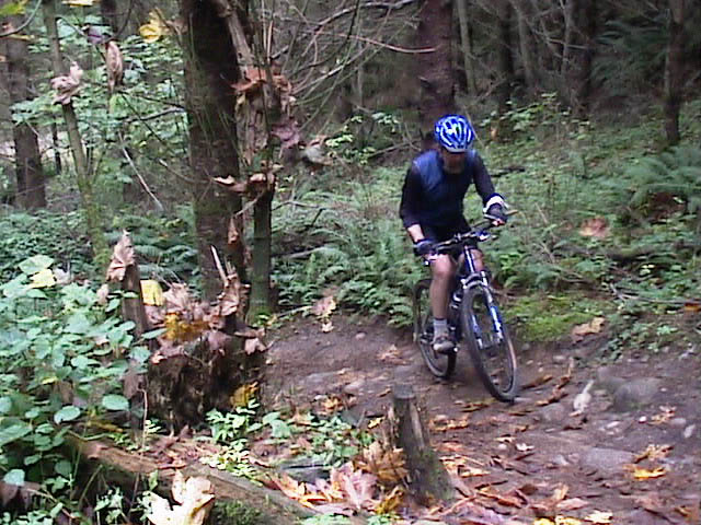 |
Around the loose stuff that tends to collect at the bottom... |
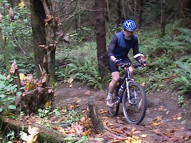 |
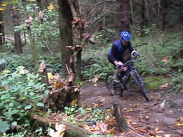
Until you can get good power down... |
 |
And accelerate... |
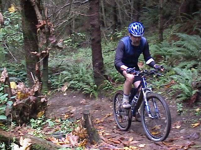
 |
For the final turn... |
 |
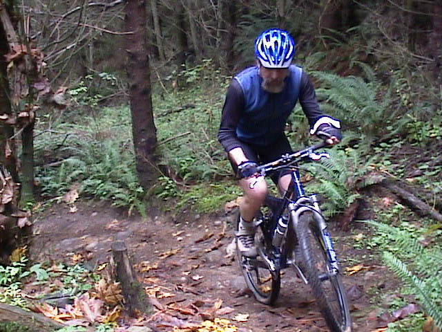
To the log punch up at the top... |
 |
Yea Mon! Mongo, up and over! |
|
Please read GalbraithMt.com's Terms of Use. © Copyright 2000-2010 by GalbraithMt.com. All rights reserved. BF Communications Inc. Website by Running Dog |
 |
|||
| Rides: 220 | Total vertical feet climbed: 404,900 | ||
Click here for GalbraithMt.com Map Set Index.
Click here for Driving Directions from Interstate 5 to Galbraith, plus MapQuest maps and live WebCam shots of Galbraith and the main freeway exits for Galbraith.