
Click here for GalbraithMt.com's all new 2014 Smartphone Trail Maps...
|
||||||||||||
 |
 |
 |
 |
|||||||||
 |
 |
 |
 |
|||||||||

Best Trails On Galbraith For Beginners -
Banjoland, Art's Trail,
Bunny Trails, Kaya
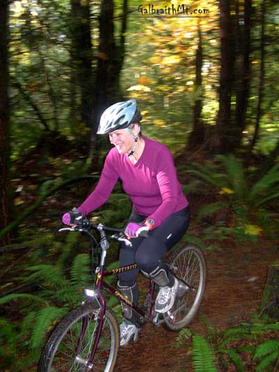 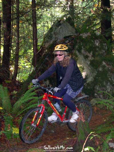
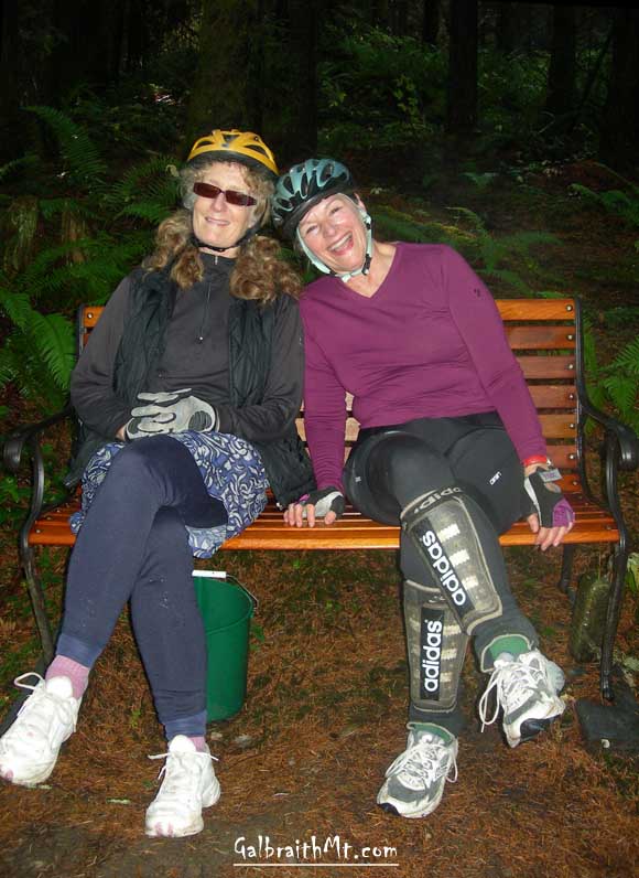
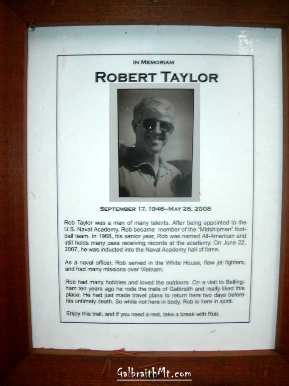
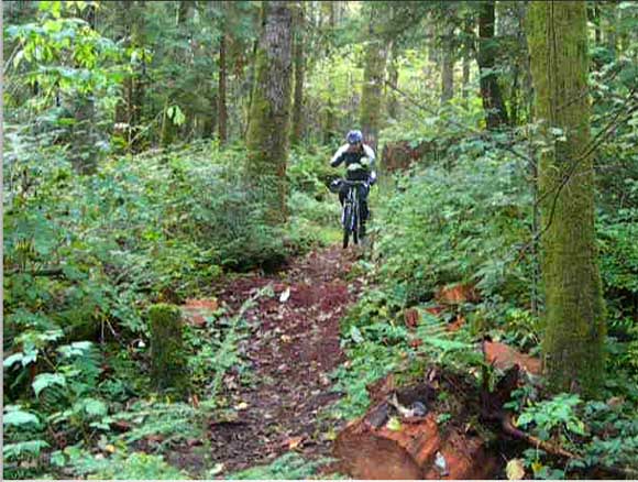
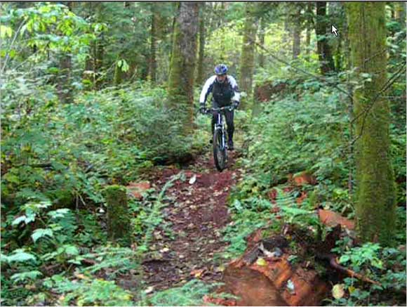
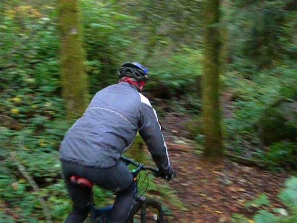
(ABOVE) Mary Jane and Janet rolling through Kaya. (BELOW) Janet and Mary Jane relaxing on Rob Taylor's Memorial Bench on Banjoland. |
| Trail name(s): | Banjoland, Art's Trail, Bunny Trails, Kaya |
| Difficulty rating: | Easy |
| Elevation gain/loss: | Negligable |
| Best riding direction: | Excellent in either direction |
| Best seasons: | Best in the "dry season" but is rideable all year long |
| Video: | Mongo cutting through a snakey place on Kaya. Janet and Mary Jane cruising at the big cedar stump on Kaya |
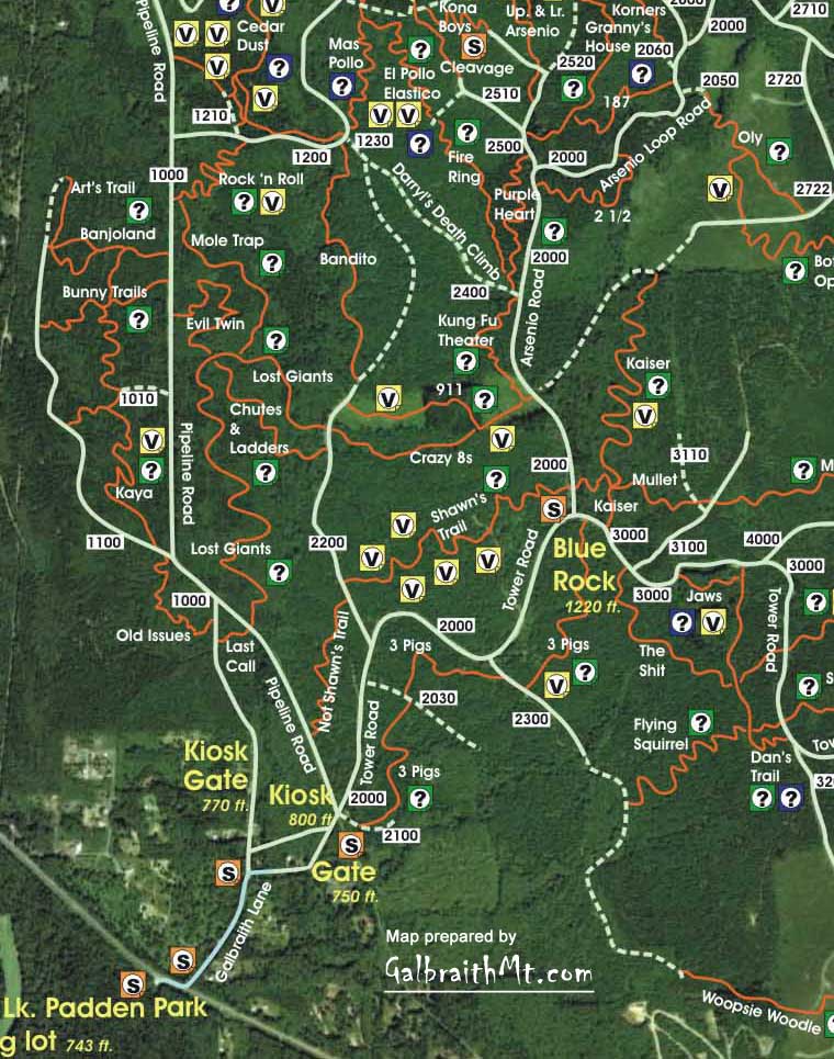
| Maps: |
See trail map at right. Click here for GalbraithMt.com Map Set Index. Click here for Driving Directions from Interstate 5 to Galbraith, plus MapQuest maps and live WebCam shots of Galbraith and the main freeway exits for Galbraith. |
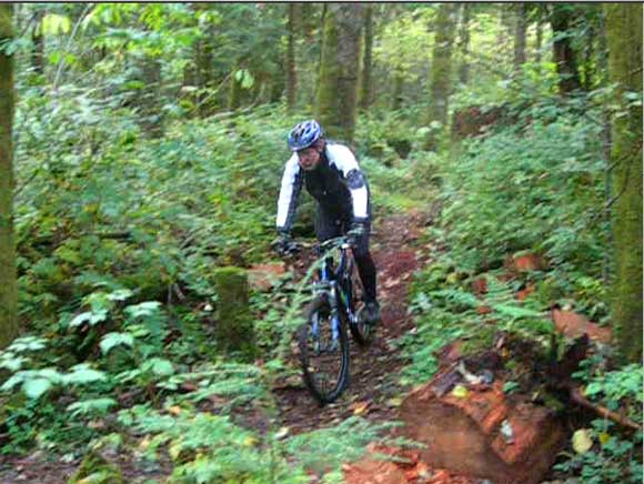
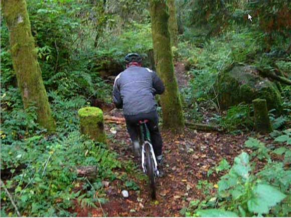
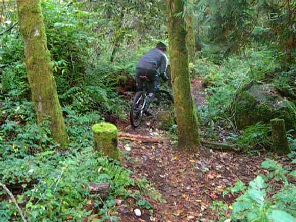
| THE BUNNY TRAILS, Banjoland, Art's Trail and Kaya are the South Side's answer the the Ridge Trail: a full-on fun zone where people who are new to mountain biking (or perhaps don't eat, sleep and breath it) can still have a great time pedaling through the woods. In fact, these trails are even sweeter than the Ridge Trail. They climb less and they have all the signature Galbraith features -- logs, roots, etc. -- but here they're all in friendly, confidence building forms. Like some a goofy Disney animated movie, all the Bunnys' natural features seem to be smiling. A beginner can even get away with riding a completely rigid bike here, as Mary Jane Fraser demonstrates above.
Really, though, there's no need for that at all. The Bunnys are about having fun, spinning through the woods, and remembering just how sweet a simple trail can be. The easiest way to approach The Bunnies is to start on the South Side, up Galbraith Lane, but it's also quite feasible to come in from the North Side, up Birch St. and the Ridge Trail, cutting through Cedar Dust and Rock 'n Roll to the Pipeline Rd.
Banjoland and The Bunnies connect, so you can start at either entrannce. Starting at Banjoland, you have two options at the fork at the top of the first little rise you climb. If you go right, you come pretty quicky to the Rob Taylor Memorial Bench. Here there are two forks again, but they both got the same place: to the 1100 Rd. and Art's Trail, which is one of the most obscure trails on the mountain (although it recently received a sign). Art's Trail loops down to the pipeline right of way, and then returns to the 1100 Rd., so it is sweet to combine with loops out of Banjoland or The Bunnies. If you go left at the first fork on Banjoland, it will bring you to The Bunnies. Again, go left at the first fork. This will bring you out on the 1010 Rd., which is also where Kaya starts! Here you can go left to get quickly back to the Pipeline Rd., or you can go right and enter the singletrack that takes you briefly to the ghost of old Nick And Pete, but the new Kaya (built summer of 2008) soon leaves the old, defunct Nick & Pete trail bed and follows it's own course to intersect with the 1000 Rd. near the corner where Old Issues starts on the right. Happy note: These trails were all destroyed by logging in late 2002, but beginning in the spring of 2006, volunteer trail crews have reestablished them, and they are in better shape now than they ever have been!
|
Click here for GalbraithMt.com Map Set Index. Click here for Driving Directions from Interstate 5 to Galbraith, plus MapQuest maps and live WebCam shots of Galbraith and the main freeway exits for Galbraith. |
|||||||||
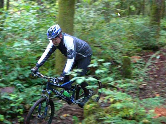
 But this isn't just some sort of two-wheeled kindergarten. The Bunnys, Banjoland and Kaya are among those marvelous trails that can provide challenge to a fairly wide range of riders. If you want more challenge, all you have to do it ride faster. And faster. And faster still. Go ahead -- see how far you fly when you try to snake through that suddenly very tight S...
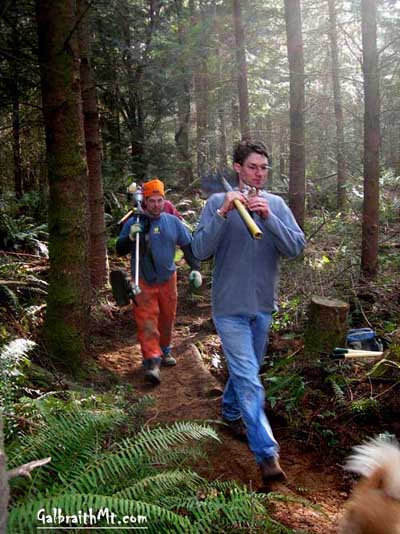 Once you're on the Pipeline Rd. / 1000 Rd, you just ride north up a gentle climb for close to a mile. Near the top after you passs the 1010 Rd. on your left, you'll see a trail coming in from the left. As of the Fall of 2009, there was a trail sign to help you identify it. Trail signs don't last long on Galbraith, though, so I wouldn't count on it. A little further on, Banjoland also intersects the Pipeline Rd. on the left. As of the Fall of 2009, it's sign hadd been stolen, but you can still see where it used to hang on a tree by the road.
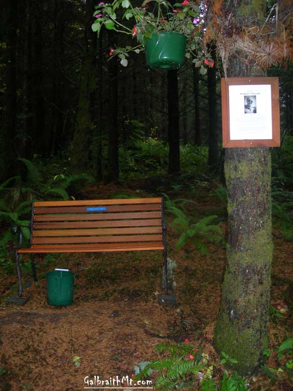
          |
|
Please read GalbraithMt.com's Terms of Use. © Copyright 2000-2010 by GalbraithMt.com. All rights reserved. BF Communications Inc. Website by Running Dog |
 |
|||
| Rides: 220 | Total vertical feet climbed: 404,900 | ||