Click here for GalbraithMt.com's all new 2014 Smartphone Trail Maps...
Getting from Point A to Point B on Galbraith, painlesslyThe New 'Colored Rock'
|
|||||||||||||||||||||||
 AMONG THE MANY cool things happening on Galbraith these days, the "colored rock" trail system has got to be one of the coolest. AMONG THE MANY cool things happening on Galbraith these days, the "colored rock" trail system has got to be one of the coolest.
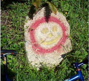
Let's be frank. Galbraith is as confusing a place. And is doesn't help that vandals habitually tear down any signs that people put up to reduce the confusion. Enter the colored rock trail system. Thanks to the work of anonymous volunteers, there are now painted rocks to serve as guide posts at many of the main intersections on Galbraith. The colored rock system is really simple, and it really works. For instance, if you want to tell someone how to find the Dan's Trail from Galbraith Lane, all you have to say is, "go right at the Blue Rock and the Red Rock; it'll be on your right just before the Yellow Rock." Whoah! What happened to the rambling 10 minute description with lots of arm waving? There's an easier way, dude. If you want to get around Galbraith with a minimum of navigational fuss and bother, start cluing in on the colored rocks. Here are some important colored rocks. TowersThe Blue Rock at the first main fork in the Tower Rd. The Red Rock (with its petroglyph-like dog) at the junction of the Keystone and Tower roads. The Yellow Rock (with its Superman shield) at the next-to-the-last Tower Rd. junction, near the top of Dan's Trail ArsenioThe Smiley Rock (you guessed it) at the junction of the Candies, the Lower Intestine and the Old Up. The Purple Rock at the junction of the Arsenio Loop Rd. and the Arsenio Rd., near the top of Purple Heart. To learn more about how the colored rock system works, check out GalbraithMt.com maps. GalbraithMt.com maps are the only maps that include the colored rock system.
|
|||||||||||||||||||||||


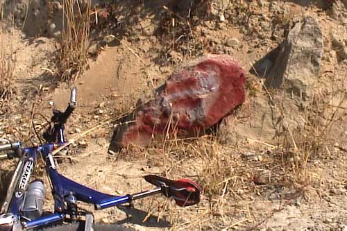
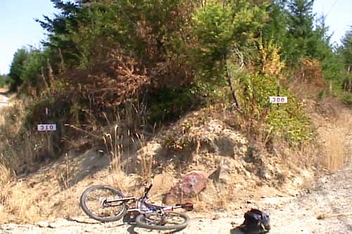
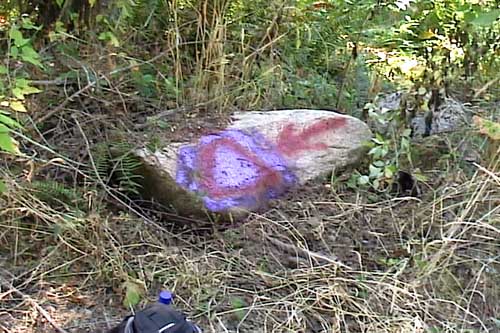
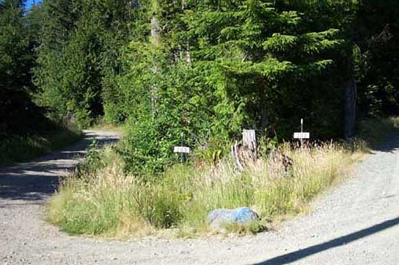
 From top to bottom: the Smiley Rock (above), the Yellow Rock at the 301 Rd. fork, the petroglyph-like Red Rock at the fork in the 300 and 310 Rds., the Purple Rock near the fork in 200 and 240 Rds., and the grandaddy of them all, the Blue Rock at the first big fork in the Tower Rd., where the 200 and 300 Rds. part.